The Nairobi Region in Kenya comprises one county, with postal codes ranging from 00100 to 00800. Nairobi itself is Kenya’s capital and the county of 047 out of all the possible 47 counties. Nairobi was established in 1899 as a railway depot and evolved into a capital city in 1907, retaining this status after gaining independence in 1963. The postal code for Nairobi itself is 00100, which corresponds to the Nairobi General Post Office (Kenya Post Corporation headquarters). Nairobi is located at 1.2921°S, 36.8219°E and spans 696 km² with a population exceeding 4.3 million
Nairobi Region at a Glance
| Regional Information | Details |
|---|---|
| Total Counties | 1 |
| County Name | Nairobi City County |
| Postal Code Range | 00100 – 00800 |
| Regional Area (sq km) | 696.1 |
| Total Population (2024 est.) | 4,828,000 |
| Regional Headquarters | Nairobi City |
| Major Economic Activities | Finance, Technology, Logistics, Government Services |
| Primary Languages | English, Swahili |
| Climate Zones | Subtropical Highland |
Regional Administrative Structure
Nairobi operates as a unified capital territory under a single county government led by a Governor. The national government appoints a Regional Commissioner to coordinate security and national policies, while the Governor manages devolved functions.
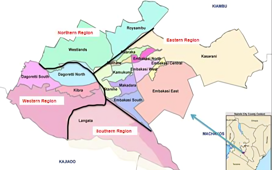
Administratively, Nairobi divides into 17 sub-counties and 85 wards, each aligned with postal distribution zones. All the sub-counties in Nairobi County are as follows:
- Ruaraka
- Embakasi South
- Embakasi North
- Embakasi Central
- Embakasi East
- Embakasi West
- Starehe
- Dagoretti North
- Dagoretti South
- Langata
- Kibra
- Roysambu
- Kasarani
- Westlands
- Makadara
- Kamukunji
- Mathare