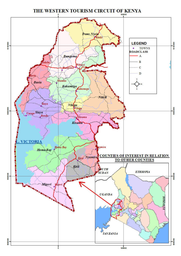
The Western Region of Kenya comprises four counties: Kakamega, Bungoma, Vihiga, and Busia. The region’s postal codes start with a 5, followed by other digits that represent the district and specific post office identifiers. The western area of Kenya Covers 8,285 km² and hosts 4.4 million people (2019 census); it is characterized by high agricultural productivity, cross-border trade with Uganda, and dispersed rural settlements.
Western Region at a Glance
| Regional Information | Details |
|---|---|
| Total Counties | 4 |
| County Names | Kakamega, Bungoma, Vihiga, Busia |
| Postal Code Range | 50XXX–50XXX |
| Regional Area (sq km) | 8,285 |
| Total Population (2019 census) | 4.4 million |
| Regional Headquarters | Kakamega Town |
| Major Economic Activities | Sugarcane farming, gold mining, cross-border trade |
| Primary Languages | Luhya, Swahili, English |
| Climate Zones | Tropical rainforest; high rainfall |
| Regional Postal Distribution Centers | Kakamega (50100), Bungoma (50200) |
| Cross-Border Points | Busia (Uganda border) |
Regional Administrative Structure
The Western Region is governed by a Regional Commissioner who coordinates national security and cross-county services. Devolution places executive authority under elected County Governors. Each county operates autonomously but collaborates through the Western Region Economic Bloc (WEREB) to standardize infrastructure and postal services.
Administratively, the region is divided into 20 sub-counties and over 70 wards, with postal codes mapped to ward-level post offices
Western Kenya Postal Codes
| County | Headquarters | Postal Code | Major Towns |
| Kakamega | Kakamega | 50100 | Butere (50101), Mumias (50102) |
| Bungoma | Bungoma | 50200 | Webuye (50205), Kimilili (50206) |
| Vihiga | Mbale | 50300 | Luanda (50302) |
| Busia | Busia | 50400 | Funyula (50405) |